The Center for Satellite Based Crisis Information (ZKI) of DLR has celebrated the relaunch of it's web-portal. The old portal, that existed since the very beginning of this DLR service, has been fundamentally overhauled, both in visual and technical respect.
It is offering now contemporary and comfortable access to the products of ZKI and to the information about recent activities and projects.
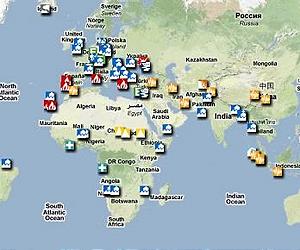
Ever since 2003 the ZKI offers to users via its web-portal fast, cost-free, and public access to its products.
Numerous relief organizations, decision makers and situation rooms have made use of the opportunity to download overall maps, damage maps, and reference material, derived and cartographically pre-processed from satellite- or aerial imagery, and to integrate this information into their aid- or prevention measures.
Since 2006 the portal has also granted free access to data from the ZKI fireservice, offering maps, satellite images and statistics about recent fire events in Europe, derived by automatic data processing from MODIS data, received at DLR.
The new portal will facilitate the access to both data and value added products, and built up the technological base for advanced services.
From there, by the end of this year, registered users will have the opportunity to use a web-mapping component, supporting accelerated access to recent satellite images for situation assessment, interactive determination of image crop and scale, and the overlay of available supplementary layers of geo-information.
Share This Article With Planet Earth